
DeltaVue watches erosion on Arctic roads by satellite with CHESTER
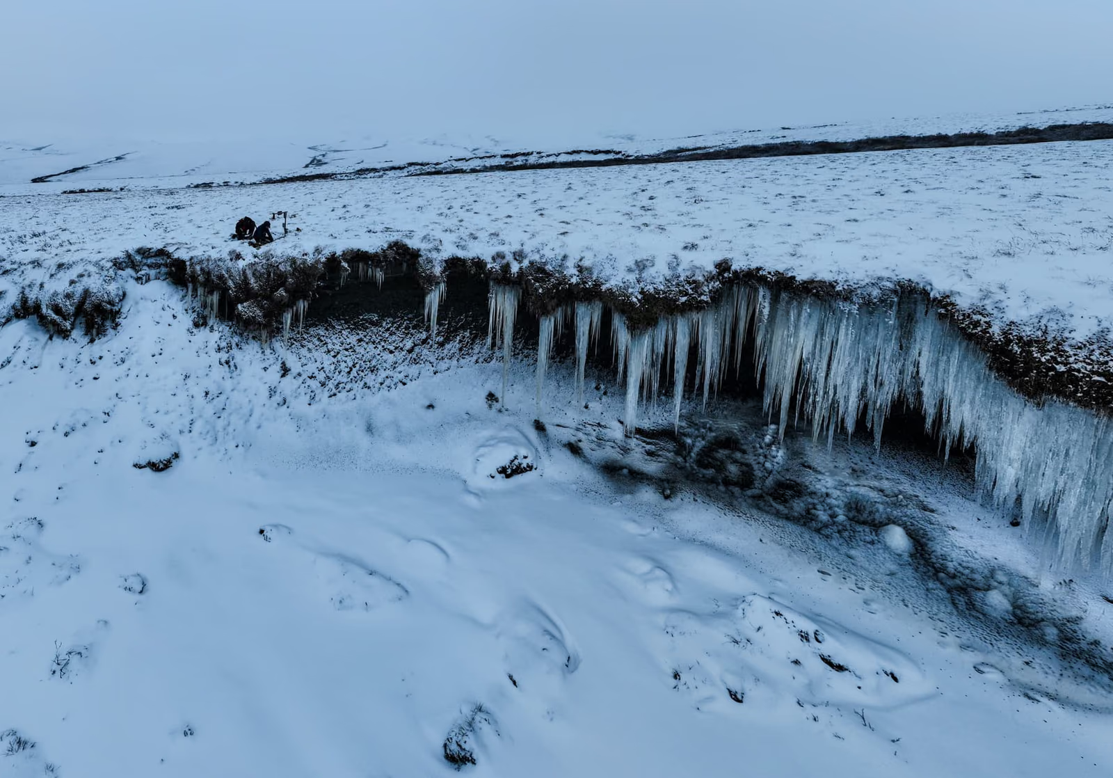
DeltaVue monitors places that no mobile network reaches. For a Government of Canada contract it watches riverbanks, slopes and roads in the Arctic: CHESTER, our IoT device, reads the sensors, and an Iridium satellite unit sends their data.
4
kinds of sensor on one CHESTER: tilt, ultrasonic distance, magnetic and 1-Wire
5 W
solar panel and a cold-proof battery, through the Arctic darkness
Iridium
satellite link where no mobile network reaches
The situation
DeltaVue connects IoT devices to satellites and delivers their data securely to dashboards. It works where mobile networks do not exist, for governments, research teams and construction and mining companies.
For a Government of Canada contract, DeltaVue built an erosion sensor for the Arctic. It watches coasts, riverbanks, slopes and the roads that connect remote communities to their supply centers, often with no other route. Without it, damage shows only when a road has to close. A site visit meant hundreds or thousands of kilometers of travel, and every failure meant another trip.
What we delivered
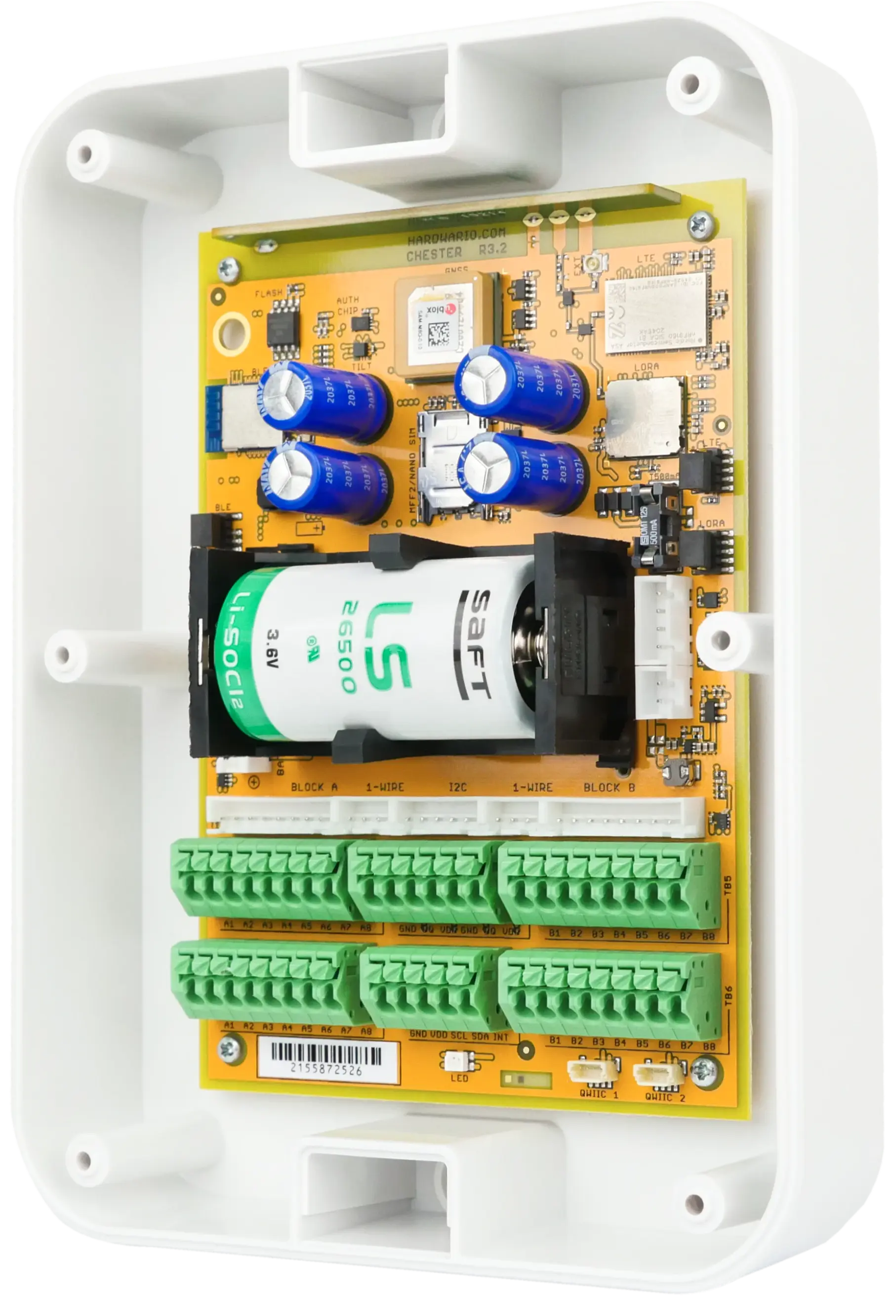
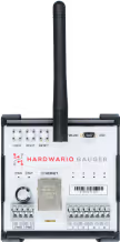
DeltaVue built its sensor on CHESTER, our IoT device, which collects the data at each station. Tilt sensors measure how the soil leans and ultrasonic rangefinders measure distance and erosion, joined by magnetic proximity switches and 1-Wire sensors. CHESTER passes the readings over Bluetooth to an Iridium Edge Solar unit, the Iridium network carries them to the cloud and they reach DeltaVue’s dashboard or API.
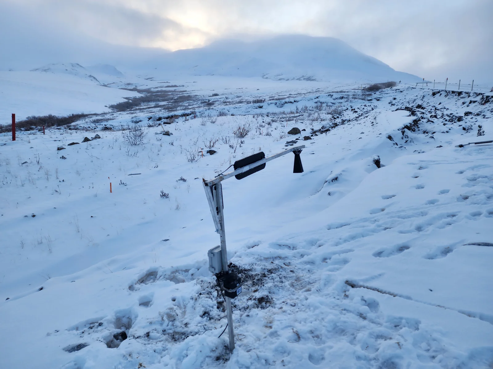
A NiMH battery made for extreme cold, a backup battery and a 5 W solar panel keep a station running through months of Arctic darkness. A satellite message was documented at −48.8 °C, where cold usually makes battery-powered electronics fail.
“CHESTER’s extensive sensor capability, combined with the global reach of the Iridium network, allows DeltaVue to provide reliable data from the most remote and hostile environments on Earth, from the Arctic to the tropics,” says the DeltaVue team.
Repairs before a road closes
With an early warning, the authorities can repair a slope at an early stage, before it fails or a road closes, and need fewer emergency interventions. Based on this work in Canada, DeltaVue planned a pilot at Vale in Brazil to see small movements of slopes and soil before a landslide, in heat and heavy rain instead of cold.